
The Grand Veymont peaks at 2 341 m. It is the highest Vercors summit.
To reach it on foot, you first enter the Vercors Highlands nature reserve and then climb its flanks via the Pas de la Ville to the north or the Pas des Chatons to the south.
Before reaching either flank, several alternatives are available with different physical commitments for a hiker in fair condition.
From the Trièves side, the climb starts at Saint-Michel-les-Portes. The outbound leg counts more than 1 200 m of climb, broken into two parts. A first ascent up a scree slope to the Pas des Bachassons. Arriving on the pasture, a small flat lets the hiker catch their breath before tackling the remaining 500 m of climb. The route is best continued by going down the Pas de la Ville to the Baraque Forestière du Veymont and back to Saint-Michel.
For our part, we more often take a different route for a day hike.
Mountain leaders based on the Four Mountains (hike Villard-de-Lans, Corrençon, Autrans-Méaudre, Lans-en-Vercors), we most often start from the parking of the Maison Forestière de la Coche (Saint-Agnan).
Different forest roads lead to the Pas de la Ville or the Pas des Chatons before climbing to the Grand Veymont.
The Combeau road runs straight toward the Veymont, while the Rachier road, for a few extra metres, is waymarked. We prefer it if you are not used to map-reading (maybe time to brush up on mountain navigation).
In photos, here are a few images of the Combeau forest road, with its gradual ascent.


A cairned trail crosses Bonneveau before reaching the Pas des Chatons. The marmots will surely be waiting for you.
A small detour via summit 1975 between the Pas du Fouillet and the Pas des Bachassons gives a view of the Grand Veymont and the Aiguillette du Veymont, and maybe the chance to meet Alpine ibex.


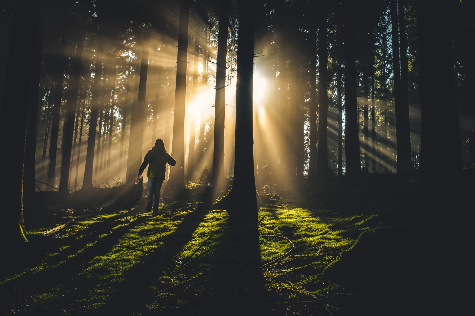
This first part of the hike already delivers landscapes and encounters with mountain wildlife.
The sporty hiker tackles the final switchbacks to the summit. Sweeping view over the Trièves, Belledonne, the Écrins and, above all, the Dévoluy from the Obiou to the Grand Ferrand. On the other side, the Trois Becs and the Plateau d'Ambel stand out. To the north, the Grande Moucherolle closes a fine line drawn by the cliffs above Gresse-en-Vercors.
Not to mention the view over Mont Aiguille. Who said you needed a rope to set foot on it?


You may also cross paths with a rock ptarmigan.
The photos above were taken at the best hours of the day, during a sunset and sunrise on a bivouac on the Vercors Highlands.
So, fancy a hiking weekend in the mountains on the Grand Veymont?
Reviews and comments
The Grand Veymont from Saint-Agnan-en-Vercors
For this outing to the Grand Veymont from Saint-Agnan, the Maison Forestière de la Coche, count:
- Average duration: 8h
- Distance: 20 km
- Climb: 950 m
- Descent: same (it's a loop)
- High point: 2 341 m (highest point of the massif)
- Low point: 1 330 m (the Coche car park)
Enjoyed this digital walk up to the Grand Veymont? You can contact us to book a hike in the Vercors or keep walking digitally on the Molière crests.
See also the Grand Veymont via its easiest route.
The cover photo of this article showing the Grand Veymont is by mountain photographer Pierre LONCHAMPT, who walks the Alps through the seasons to capture the landscapes the massifs offer, especially his favourite, the Vercors. We invite you to discover more of his work and the prints he sells on his website: pierrelonchampt.com
Nature discovery activities near the Grand Veymont
Discover our nature and mountain activities in the Vercors north side, near Grenoble:
- Nature activity
Wild Escape Game
- Navigation challenge & ancestral fire lighting
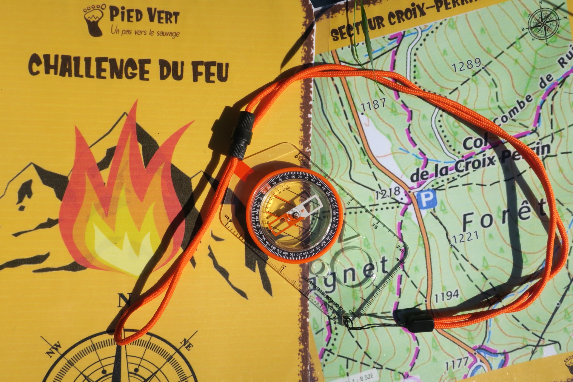
Fire Challenge
- On the trail of
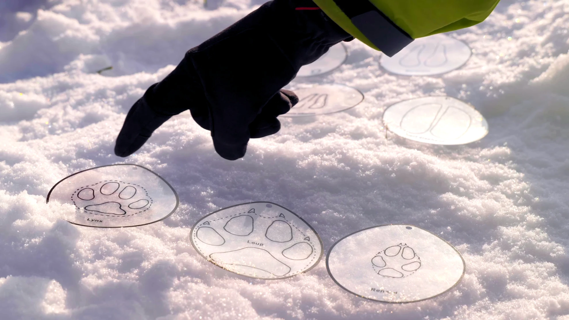
Mountain Wildlife


